Paper Map or Offline Map? Choosing a Way to Keep Your Bearings
Paper map or offline map? Compare preparation, readability and trail use so you can choose a dependable way to check your position on a walk.
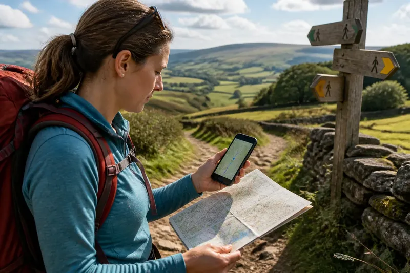
Paper map or offline map? The right choice depends on how you prefer to prepare, read the ground and check your position as a walk unfolds. A folded sheet gives you a broad view without a battery; a downloaded map makes it easy to inspect a small detail on a phone. You can also carry both without turning navigation into a project.
What does each map show best?
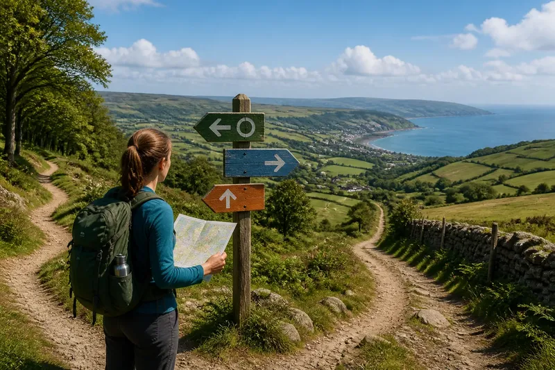
A paper map is strongest when you want to see the shape of a whole area at once. You can trace a route with your finger, notice nearby paths and compare the line on the page with the landscape around you. That broad view is useful when a junction offers several choices or when you want to understand where a walk sits in relation to a village, ridge or river.
An offline map is strongest when you want a close look at a particular point. Zooming can make a junction, contour or minor track easier to inspect, and a phone with location enabled can show your position on the downloaded map. That blue dot is a reference, not a substitute for checking whether the ground and map agree.
Neither format tells the whole story by itself. A map may show a path that is hard to see beneath vegetation, while a clear track on the ground may be absent from an older or less detailed map. Treat either as one source of information, alongside signs and what you can observe.
How much preparation does an offline map need?
An offline map needs a little attention before you leave. Choose the mapping app or service you plan to use, download the relevant area over a reliable connection, and check that the saved map opens with the phone in airplane mode. Make sure the map includes the detail you need rather than only a broad overview.
Also check that the phone has enough charge for the walk and that you know how to find the saved map without relying on mobile service. A compact battery pack may help on a longer outing, but it adds another item to carry. The useful test is simple: can you open the map and identify a nearby feature with connectivity switched off?
A paper map has its own preparation. Check that the sheet covers the area you need and that its scale and detail suit the kind of walking you have in mind. If it is unfamiliar, find the map legend and work out how paths, contours and boundaries are represented before setting off. A clear plastic map case can keep the sheet usable in damp weather, though many walkers find a map easy enough to handle without one.
Which is easier to read while walking?
That depends on the moment. A paper sheet is easy to consult for a broad comparison, but wind, rain and awkward folds can make it fiddly. A phone is quick to zoom and pan, yet glare, a dim screen or gloves can slow you down. Both are easier to use when you stop somewhere safe and steady instead of trying to read while moving.
Map scale matters in either format. A small-scale overview helps with the general layout; a larger-scale map shows more local detail. Digital zoom can change how much of the screen you see, but it cannot create detail that was not included in the map data. With paper, check the printed scale rather than assuming that a larger-looking sheet means greater detail.
Try to compare like with like. If the phone view is zoomed close to a junction, a paper overview may seem less precise simply because it shows more ground. Pan out on the screen or consult a more detailed paper sheet before deciding that one map is missing something.
What should you do if your phone loses power or signal?
An offline map does not need a mobile signal to display its saved map, but the phone still needs power. Location may also be less consistent in some settings, such as beneath dense tree cover or beside steep slopes. If the screen becomes unavailable, a paper map remains readable without electronics; if you carry only a phone, know how to manage its charge and avoid unnecessary screen use.
Do not assume that a paper map is automatically dependable just because it has no battery. It can be the wrong sheet, difficult to orient or too wet to read comfortably. The practical question is whether you can identify the map you have, locate yourself from visible features and make sense of the symbols.
What do walkers often ask about map choice?
Can an offline map work without mobile service?
Yes, if the map area has been downloaded and the app can access it without a connection. Check this before the walk by switching off mobile data and opening the saved area.
Does a paper map need a compass?
Not for every simple map check, but a compass can help you orient the sheet when landmarks are unclear. Learn how to use the particular map and compass together before relying on them in unfamiliar terrain.
Can a phone’s location dot be wrong?
It can be imprecise, especially where the surrounding terrain or tree cover interferes with reception. Compare the displayed position with recognizable features and avoid making a route decision from the dot alone.
Is carrying both maps excessive?
Not necessarily: a paper map can provide a backup, while a phone can make close inspection convenient. If carrying both feels cumbersome, choose the format you can use confidently and prepare it properly.
When is carrying both worth the effort?
Carry both when the outing is unfamiliar, the phone’s battery is already a concern, or you value a broad paper overview alongside a detailed screen. They need not duplicate each other perfectly. A paper map can cover the wider area while the phone holds a saved map for closer checks.
Say you are walking through a patchwork of signed paths and woodland tracks, and your phone has an offline map but no service. You download the area before leaving, confirm it opens offline, and fold a paper map to the same general area. At a confusing junction, you compare the track shapes on both maps with the signs and visible paths; if the phone battery runs low later, the paper sheet is still available. That is a modest backup plan, not a reason to carry every navigation tool you own.
What is not worth the effort is downloading several overlapping map layers you cannot distinguish or repeatedly checking the phone when a clear sign and the map already agree. Pick a format you can read, learn its limits and keep your attention on the ground as well as the screen. The best way to keep your bearings may be paper, offline map or both, provided you can use what you bring.