From Milestones to Waymarks: How Paths Learned to Speak
Milestones and waymarks reveal how route marking changed; learn what each sign was made to tell walkers and how to read its purpose on a path.
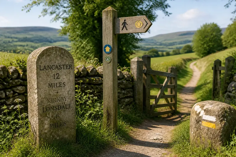
A milestone beside an old road and a painted arrow on a footpath answer different questions. One tells you how far a place lies; the other helps you keep to a line through the landscape. The history of path marking is less a march toward better signs than a story of people choosing what a traveler needs to know.
That distinction matters on a walk today. A stone post, a carved tree, a strip of paint, and a modern fingerpost each belong to a particular kind of route and responsibility. Knowing what they were meant to do makes them easier to read—and easier to appreciate as traces of how people moved through a place.
Why did people mark routes in the first place?
Long before signs were set into roadsides, routes depended on shared knowledge. A ridge, a river crossing, a gap in a hedge, or a distinctive tree could serve as a cue. People who traveled regularly knew the sequence; newcomers often relied on a guide or local directions.
As trade, administration, and travel expanded, route information became more formal. A mark could identify a boundary, direct a traveler toward a crossing, or make a long journey legible in manageable portions. These purposes did not always overlap. A marker useful to a courier might mean little to a person crossing open ground on foot.
Marks also reflected who controlled the route. A parish boundary stone, a road marker, and a waymark on a public footpath may sit close together, but they signal different systems. Some announce distance or jurisdiction; others simply help a walker stay on the intended path.
What did milestones tell travelers?
Milestones made distance visible. Set along roads, they could name a destination, indicate how far away it was, or identify a route’s administrative connection. Their solid form suited an open roadside: a traveler could spot a substantial stone from a distance, stop beside it, and take in the information at leisure.
For a person walking, a milestone offered a useful pause in the journey’s mental arithmetic. It placed the road in relation to towns and junctions, turning an unfamiliar stretch into a sequence of named places. Yet a milestone generally did not explain which track to take once the road divided, nor did it guide someone across a field.
Its message was often public and durable. Stone could withstand weather and remain in place after a route’s busiest days had passed. That permanence is part of its appeal now: the marker can outlast the travel habits and road arrangements for which it was made. It is a record of an older landscape of movement, not necessarily a current instruction.
How did route markers move beyond the road?
Paths across farmland, moor, woodland, and upland terrain called for different cues. A road sign can stand at a predictable edge; a path may cross open land with no roadside on which to place one. Route marking therefore often relied on whatever could be seen or maintained in that setting: posts at decision points, paint on a surface, a small plaque, or a marker fixed to a gate or wall.
These signs tend to speak locally and briefly. A colored mark may mean “continue this way” rather than announce a destination or distance. A post at a fork can settle a choice before the walker reaches the wrong branch. On a long path, repeated marks help make the route recognizable without turning every stretch into a signposted corridor.
That economy has a practical reason. Too many signs can clutter a landscape and make a route harder to read, while too few can leave a junction ambiguous. Good marking is often concentrated where a decision is needed: a gate, a change in direction, a crossing, or a point where the path fades against similar ground.
Which kinds of marks serve walkers differently?
Three broad approaches remain easy to recognize. They can coexist on one walk, but each offers a different kind of information.
- Milestones and distance stones: These suit travelers who want place names, distances, or evidence of a road’s older organization. They give context more than turn-by-turn direction.
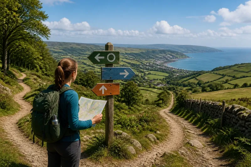
- Fingerposts and direction signs: These suit walkers approaching a junction or access point. They can point toward a destination or route, although they may not mark every bend between signs.
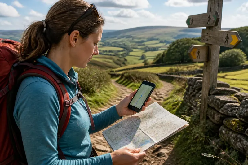
- Paint, plaques, and small waymarks: These suit routes that need frequent, low-profile cues across varied ground. Their meaning may depend on a route’s local marking convention, so a single mark is most helpful when read with the others around it.
Imagine a walker entering a village lane, then following a footpath across fields. A milestone at the lane’s edge helps connect the village with the wider road network. A fingerpost at the path entrance identifies the direction of the footpath, and a discreet mark near a field gate confirms the turn. Each sign does one job; together they make the route easier to understand.
How can you tell what an old marker means?
Start with its position. A stone beside a road is likely to relate to the road’s distances or destinations. A marker at a boundary may record ownership or an administrative line rather than a walking route. A waymark placed near a junction is more likely to give immediate direction.
Then look at its form and wording. A named place, distance, or boundary inscription suggests a record or reference point. An arrow, colored stripe, or route emblem is more likely to guide movement. The surface matters too: a marker fixed to a gate may be intended to be seen from one approach, while a tall post can address walkers arriving from several directions.
Finally, read it in company. A faded mark can be difficult to interpret alone, but repeated marks along a path often reveal a pattern. If a marker conflicts with current access information or the visible route, do not treat the old object as proof that the path remains open. Route access and marker conventions vary by place; follow local signs and current guidance where they apply.
What should you look for when comparing path marks?
Why are some markers placed at junctions?
A junction is where a small amount of information can prevent a wrong turn, so posts and arrows often gather there. Their placement can tell you which decision the sign is meant to resolve.
Why do some waymarks repeat along a path?
Repeating marks help confirm that a walker has stayed on the intended line, especially when a path crosses similar-looking ground. They also reduce the need for a large sign at every minor change.
Why might a milestone remain after its route changes?
A stone marker can remain in place after road use or local arrangements shift because it is durable and difficult to move. Treat it as evidence of the route’s history, not automatically as a description of today’s access.
Do old markers always give directions?
No. Some record distance, boundaries, destinations, or ownership rather than directing a walker. Their location and wording offer clues, but the surrounding route signs are usually more relevant to a current choice.
How do you choose which marks to trust on a walk?
Choose by purpose. If you are curious about how a road connected settlements, a milestone may be the most revealing object along the way. If you need to decide where a public path leaves a lane, a fingerpost is more useful. If you are following a marked trail across open ground, repeated waymarks can provide the clearest continuity.
It helps to distinguish historical interest from navigational instruction. An old marker can enrich a walk without being a reliable guide to present-day access. Conversely, a plain modern arrow may have little visual charm but answer the immediate question precisely. Look at the sign that addresses the decision in front of you, then notice what the other markers add to the story of the landscape.
What is not worth the effort is trying to decode every weathered mark as if it were a complete route plan. Some inscriptions are worn, some markers have been reused, and some were never intended for walkers. A careful glance is enough; if a mark stays unclear, use current local route information rather than guessing.
The next time a stone or painted stripe catches your eye, ask what it was built to communicate and to whom. That small question turns path marking into part of the walk itself: milestones place a journey among named places, while waymarks make a particular line through the landscape easier to follow. The history of path marking is visible in that difference, one roadside stone or quiet arrow at a time.